Mount Teide
Back to all places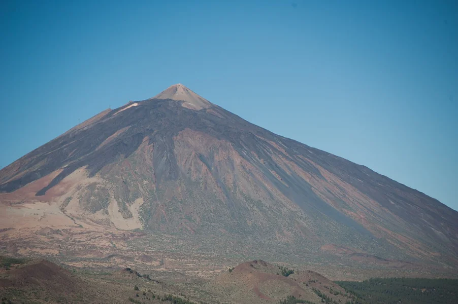
Mount Teide rises majestically at 3,718 metres above sea level, making it not only the highest peak in Spain but also the third highest volcanic structure in the world when measured from its oceanic base. Located in the heart of Tenerife within the Teide National Park, a UNESCO World Heritage Site since 2007, this stratovolcano dominates the island’s central landscape and holds a pivotal role in the archipelago’s geological and cultural history. The volcano’s origins date back approximately 170,000 years, following a cataclysmic landslide that reshaped Tenerife’s topography and created the vast Las Cañadas caldera. Historically, the area was considered sacred by the indigenous Guanches, who believed that Guayota, the devil, resided in the volcanic crater, and regarded Mount Teide as the axis of the world. The first recorded ascent was undertaken in 1582 by English explorer Sir Edmund Scory, marking the beginning of scientific and exploratory attention from Europe. A significant eruption occurred in 1798, lasting for three months and producing the “Narices del Teide” (Nostrils of Teide) lava flows. Scientific research flourished from the 19th century onwards, with explorers such as Alexander von Humboldt climbing Teide in 1799, noting its unique flora and fauna and contributing to early volcanology. Today, Mount Teide is a symbol of the Canary Islands and an essential site for astrophysical observation, as its summit provides some of the clearest skies in Europe. Its enduring presence continues to captivate geologists, historians, and travellers alike, standing as a testament to the island’s dynamic past and ongoing natural evolution.
28.27234, -16.64251